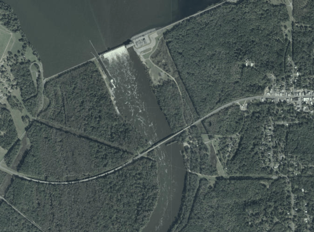
Before the U.S. Government built the Woodruff Dam and created Lake Seminole, the confluence of the Flint and Chattahoochee Rivers was a place of significance and power for many different peoples across the centuries. Today I understood that a little better when I saw this aerial from 1940 depicting the literal wedding of the waters in Chattahoochee, Florida. The sandy Chattahoochee empties north Georgia on the left in this picture; the tannic Flint empties middle and southern Georgia on the right. Half of the road crossing in the aerial still exists over the original river course, as you can see in the current aerial, but the whole country is radically different just a few hundred yards to the north. It’s still a beautiful waterway; but a vast, stately lake is about as different from the river in this old photograph as you can get while keeping your hair wet.

I think a lot about how places like this, where rivers come together or bubble underground, where they cascade over the fall line, or where they break into rapids, have been important to everyone who’s ever lived along their banks. The place where these mighty rivers came together was so important to the United States that it invested millions of dollars, expended the political capital to flood the surrounding country, and devoted itself to maintaining a concrete wall in perpetuity just to try and harness a little bit of that power and convert it into electricity. Think about how important such a place would have been in a world without a GPS to tell you how to get where you’re going. A world where water runs with the literal spirits of the earth and carries life or death in the current. This is why I study environmental history.
